 Landstats
The Landstats Property App
Be out standing in your field.
Explore 160 million+ US property records and lot lines on your phone or tablet. Search by owner, address, or APN. Save notes, favorites, and share parcels easily with anyone.
What it looks like
iPhone and Android run the same maps, the same records, and the same field tools.
Everything you need on the lot
-
Search four ways at once
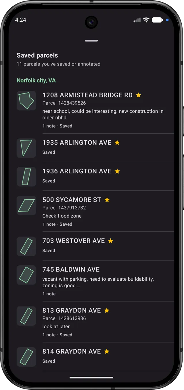
Address, owner name, APN, and your saved parcels — merged into one list and ranked by distance from where you are. Searching is always free.
-
Works without a signal
Tiles you have browsed stay cached for a week and viewed records for months, so areas you have already visited keep working out of range.
-
Notes, photos, dictation
Attach typed or spoken notes and photos to any parcel, then export the lot as CSV or GeoJSON.
-
Stacked parcels, untangled
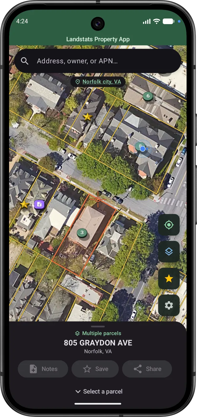
Condos, split lots, and easements that share one footprint show up as a stack. Pick the record you mean instead of guessing which one the tap landed on.
-
Terra Firma elevation
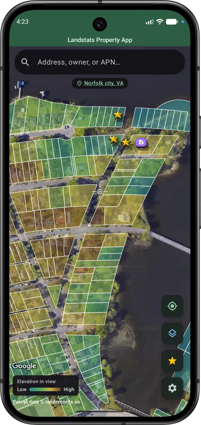
Rank every parcel in view by relative elevation to read how the ground actually lies before you walk it.
-
Free to start
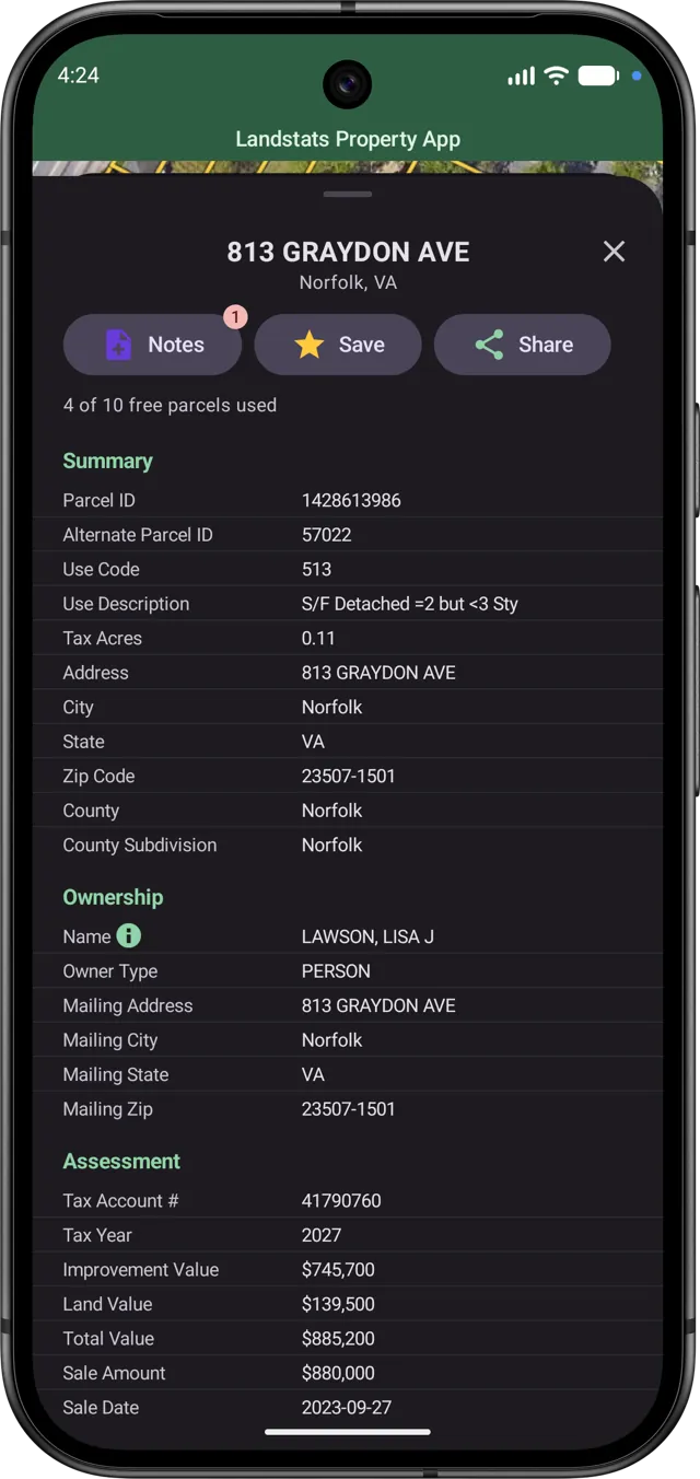
Ten full parcel records free, then Landstats Pro is $7 a month or $50 a year for 1,000 records a month. Map browsing and search are never metered.